AERIAL SURVEY
Oberon Aviation specialises in low level, high accuracy, high resolution imagery and LiDAR capture.

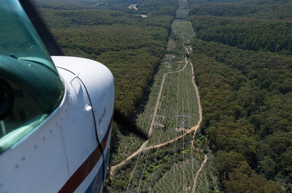
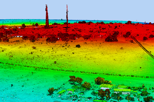
With over 25 years experience, Oberon Aviation specialises in low level, high accuracy, high resolution imagery and LiDAR capture, which is suitable for providing large scale orthomosaics and terrain data sets to provide planners, developers and engineers survey data with the ability to plan concepts and projects.
Oberon Aviation staff are specifically trained for survey operations and the company has CASA approval. The company is capable of working Class 4 lasers for medium level LiDAR capture, down to low level LiDAR capture with Class 1 lasers.

Our specialised survey fleet includes;
- Cessna O1G
Capable of sensors being placed externally on both sides of the fuselage - Cessna 206
Capable of sensors being placed in two apertures in the hull, one large 16-inch and a 10-inch - Two Cessna R172K
Have been specifically modified with an aperture capable of carrying LiDAR equipment like the Leica ALS80 - Cessna R172K
Suitable for the XCAM - Cessna 182RG
Modified door apertures
